
Site Plan 101
Planning a home renovation or construction project can be an exciting endeavor. However, it’s crucial to approach such undertakings with careful consideration and proper documentation. One essential tool in this process is a site plan, which provides a comprehensive overview of a property and its surroundings.
A site plan serves as a valuable resource for homeowners, contractors, and local authorities.
It helps ensure that any proposed changes or additions to a property comply with local regulations, respect property boundaries, and adhere to homeowner association guidelines. By having a clear and accurate site plan in place, property owners can avoid potential legal and financial complications that may arise from uninformed or poorly planned renovations.
Key Points
- Site plans are essential for home renovation and construction projects
- A well-prepared site plan helps avoid legal and financial issues
- Site plans ensure compliance with local regulations and property boundaries
What is a site plan?
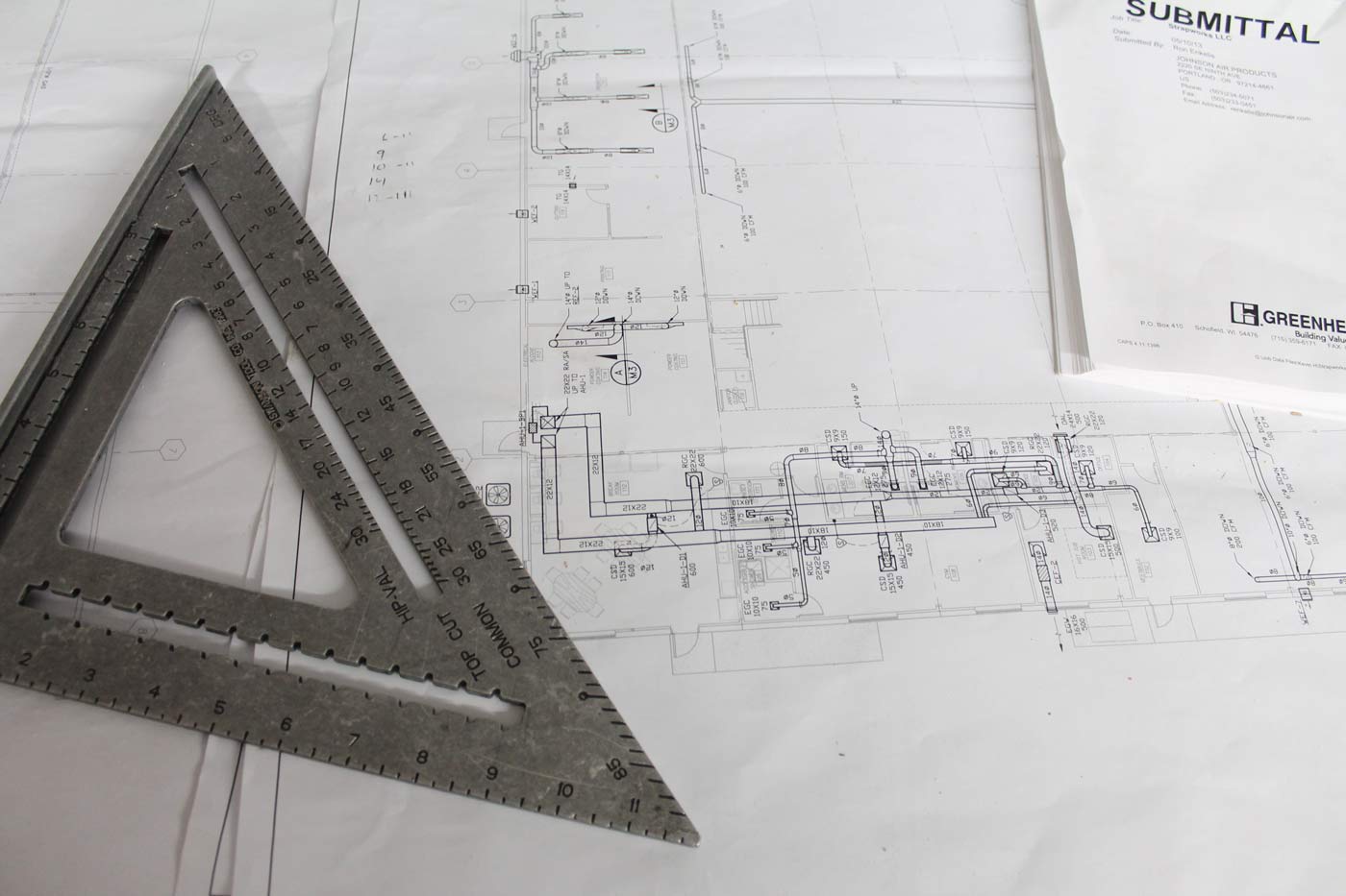
A site plan is a detailed diagram that depicts proposed changes to a property. It shows existing structures and features alongside planned additions or modifications. For instance, it might include a current house and a proposed new garage.
The key purpose of a site plan is to illustrate how new elements will fit with existing ones. This visual representation helps planners and officials understand the project’s impact.
Site plans vary widely based on local requirements. Some authorities demand professional land surveys, while others accept hand-drawn sketches on graph paper. It’s crucial to check with your local permitting office before creating a site plan.
Elements often found in site plans:
- Existing buildings
- Proposed new structures
- Property boundaries
- Driveways and walkways
- Landscaping features
- Utility connections
A well-crafted site plan is essential for obtaining building permits and ensuring your project complies with local zoning laws.
Essential Components
A site plan must include several key elements to be effective. The property boundaries should be clearly marked, showing the exact limits of the land. Building outlines need to be drawn to scale, depicting their placement on the site. Roads, driveways, and parking areas are important to include, as they affect traffic flow.
Landscaping features like trees, gardens, and green spaces should be noted. Utility connections for water, electricity, and sewage are crucial to mark. Topographical details such as slopes, hills, or water bodies need representation.
Here’s a list of other important elements:
- North arrow for orientation
- Scale of the drawing
- Setbacks from property lines
- Existing structures on adjacent properties
- Walkways and pedestrian paths
- Fencing or wall placements
Site plans often appear on the title page of a property’s blueprint collection. They give an overview of the entire property and how different elements fit together. A good site plan helps builders, architects, and planners understand the layout and make informed decisions.
How site plans and land surveys differ
Site plans and land surveys serve different purposes for property owners and developers. A site plan shows the layout and design of a property, including buildings, landscaping, and utilities. It acts as a blueprint for development. Land surveys focus on precise measurements and legal boundaries.
Key differences include:
- Purpose: Site plans guide construction and design. Surveys establish legal property lines.
- Level of detail: Surveys provide exact measurements. Site plans show general layouts.
- Legal standing: Surveys are legally binding documents. Site plans are planning tools.
- Who creates them: Licensed surveyors make surveys. Architects often draw site plans.
Site plans typically include:
- Building footprints
- Driveways and parking areas
- Landscaping features
- Utility connections
Land surveys measure:
- Property boundaries
- Easements
- Encroachments
- Topography
While different, both documents work together to help property owners make smart choices. Surveys provide the legal foundation, while site plans guide design and development.
Are site plans the same as plot plans?
Plot plans and site plans serve different purposes in land development and construction. A plot plan shows the basic layout of a property. It includes property lines, buildings, and major landscape features. Site plans go into more detail. They show the full layout of a property with buildings, parking areas, utilities, and landscape elements.
Plot plans are simpler documents. They’re often used for smaller projects or to get initial approvals. Site plans have more information. They’re needed for larger developments and to get final project approvals.
Here are some key differences:
- Scope: Plot plans cover a single lot. Site plans may include multiple lots or a larger area.
- Detail level: Plot plans are more basic. Site plans have extensive details on all site features.
- Use: Plot plans help with zoning checks. Site plans guide full project construction.
- Scale: Plot plans use a wider scale. Site plans zoom in to show precise measurements.
Site plans may include:
- Building locations and dimensions
- Parking layouts
- Walkways and roads
- Landscaping plans
- Utility connections
- Topography
Plot plans typically show:
- Property boundaries
- Building footprints
- Basic site features
Both types of plans are important tools in the development process. The right plan depends on the project’s needs and local requirements.
When Do You Need a Site Plan?
Site plans are needed for various construction and development projects. You need one when applying for a building permit for new construction. If you’re redoing an existing building and the work affects the outside, you’ll also need a site plan. Many land use applications require them too.
All site plans must show where property lines are. They also need to show how buildings, parking lots, and other features fit on the land. Some projects may need more details in their plans.
To find out what your plan should include:
- Check with your local city or county office
- Ask for their application packet
- Look for the list of required items
- Use this list to make your site plan
This helps ensure your plan meets all local rules.
How Situations That Site Plans Can Help With
A site plan proves useful in many situations. People often need one when planning yard work. It helps mark instructions clearly to avoid confusion. Homeowners thinking about changing their roof may sketch out new designs on a site plan.
Neighbor disputes over property lines can require a site plan. It shows any encroachments for city officials. Landscaping projects also benefit from site plans. They help decide what to keep or remove.
Site plans are crucial for permits.
New outdoor structures, demolitions, and pool changes all need them. Cities with tree protection rules use site plans to check if trees need extra care.
Building and zoning regulations
Site plans play a key role in showing how proposed changes to a property fit with existing features and the surrounding area. These plans help local officials check that projects meet all building and zoning rules. This ensures new structures or additions comply with current codes and regulations.
Community services assessment
A well-made site plan allows local authorities to evaluate if community services can handle proposed changes. This includes checking if schools, sewers, roads, water systems, and emergency services have enough capacity for new developments. It’s a vital step in planning sustainable growth.
Land use compliance
Following zoning rules through proper site planning helps avoid legal issues from improper land use. It also protects property owners in the long run. For example, insurance policies may not cover structures built without permits or those that don’t meet codes. A good site plan helps prevent such problems.
Record keeping
Governments often keep site plans as part of their historical records. This is especially true for major property changes. These records can be useful for:
- Future renovations
- Property sales
- Resolving disputes
- Planning community development
Site plans help in many ways. They guide work, settle disputes, and meet legal requirements. Having one ready can make projects smoother and avoid delays. Having accurate, up-to-date site plans on file benefits both individual property owners and the wider community. It creates a clear picture of how properties have changed over time.
Key Uses of Site Plans in Construction Projects
Site plans play a crucial role in construction projects. They serve as readable maps of building sites that show how structures will be placed on land. These plans help teams visualize the project and guide their work.
Architects and engineers use site plans to:
- Show property boundaries
- Mark building locations
- Plan utility layouts
- Design landscaping
Site plans also help with getting permits. Many local governments require them for approval.
Construction blueprints often include site plans. They give a bird’s-eye view of the whole project. This helps everyone understand how different parts fit together.
During building, site plans guide earthwork and grading. They show where to dig foundations and how to shape the land. After construction, these plans remain useful for property records and future changes.
How to Make a Site Plan for Your Property
A site plan shows the layout of a property. To create one, start by measuring your land. Use a tape measure for small areas. For bigger properties, try online mapping tools.
Next, draw your property boundaries on graph paper. Make a scale, like 1 inch = 10 feet. Add existing buildings, driveways, and big trees. Mark where north is.
Then add new things you want to build. This could be a shed, pool, or garden. Site plans often include outdoor features like walkways and landscaped areas.
Don’t forget to note important details:
- Property lines
- Building locations
- Driveways and paths
- Major landscaping
- Utilities (if known)
You can draw by hand or use computer software. Many people like to create site plans online for a professional look.
Remember to check local rules. Some areas need specific info on site plans. If you’re not sure, ask a pro for help. A good site plan helps you plan better and can speed up permit approvals.
Creating a Site Plan Using Online Tools
The Online Site Plan Creation Process
Making a site plan online is a quick and budget-friendly option for many property owners. This method works well for minor property changes when local authorities accept non-certified plans.
The steps to create an online site plan are simple:
- Pick a detail level
- Enter the property address
- Choose file specs
- Wait for designer review
- Get your plan
Online tools use recent satellite images and public records to make accurate site plans. The process typically takes about 24 hours.
Designers might ask for more info if needed. In rare cases where they can’t find enough data, you’ll get a refund.
After you get your plan, you can check it and ask for free changes.
This table shows how online site plans compare to other methods:
| Method | Cost | Time | Accuracy |
|---|---|---|---|
| Online | $99-$159 | 1-2 days | Good |
| DIY | Free | Varies | Varies |
| Surveyor | $530-$1000+ | 1-2 weeks | Excellent |
Online plans are a middle ground between costly surveyors and free DIY options. They offer a good mix of speed, affordability, and quality for many projects.
To start, you’ll need to know what level of detail you need. Your local building office can help with this. Then, gather any info you have about your property, like old surveys or sketches. These can help, but aren’t required.
Next, pick your file type and size. Common choices are PDF or CAD files. The size depends on your project needs.
A pro tip: If you’re not sure what you need, many online services offer help. You can often chat with them before ordering to get the right plan for your project.
Remember, while online plans work for many projects, some might need a full survey. Check your local rules before starting any big changes to your property.
We recommend MySitePlan.com for online site plans

MySitePlan offers quick and easy site plan creation services. Their team of skilled CAD designers creates plans remotely for clients across the US and Canada. They use advanced tools like GIS and public records, along with client input, to produce accurate plans.
MySitePlan provides three options:
- Basic Site Plan
- Medium Detail Site Plan
- Detailed Site Plan
These choices let clients select the right level of detail for their project.
The company brings extensive experience to each job:
- Thousands of completed site plans
- 20+ years of drafting expertise
- Work on projects of all sizes
- Plans accepted by building departments nationwide
MySitePlan has grown to become a leading provider of remote site plan services in the country. Their combination of skill, efficiency, and reliability makes them a top choice for anyone needing a professional site plan.